KenyaTourism
From the Maasai Mara to the Lamu archipelago, Kenya stitches together every flavour of an East African journey — savanna, snow-capped peak, equatorial coast.
A country measured in horizons.
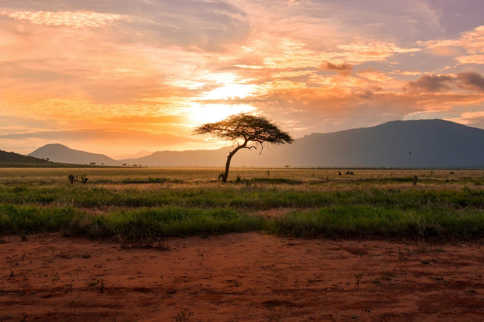
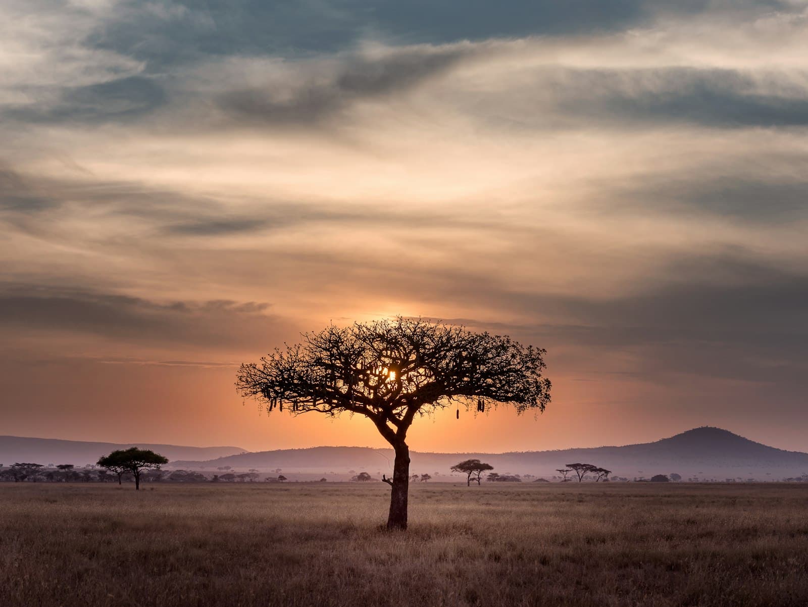
Kenya is shaped by movement. The Great Rift Valley splits the country north to south, lifting volcanic peaks and dropping into soda lakes that turn pink with flamingos. Across that geography, two million wildebeest run a circle every July through the Mara — the largest land migration on Earth. Coastal traders from Arabia, India and Persia have stopped at Lamu and Mombasa for a thousand years, leaving a Swahili culture that is its own thing entirely.
Modern Kenya is what happens when an ancient highway becomes a country. Nairobi is the only capital with a national park inside the city limits — lions visible from a downtown skyline. Mount Kenya, the country's namesake, rises 5,199 metres into glacier ice almost exactly on the equator. The Tana River, the Tsavo elephants, and the Indian Ocean reefs at Watamu all start within a day's drive of one another.
Travel here is unusually legible: most national parks are paved-road accessible, the small-plane network drops you into bush airstrips in under an hour, and Swahili greetings open every conversation. Come for the wildlife, stay for the coast, and you'll understand why so many Kenyan stories end on Lamu's seafront in the dry season.
Practical info.
Climate
Best time: July–October (Great Migration), January–February (calving).
Visa & entry
eVisa available online. Apply at evisa.go.ke; processing typically 2–3 business days.
Money
Kenyan shilling (KES). Mobile money is widely accepted; carry some cash for rural travel.
Safety & health
Anti-malarial cover for low-elevation regions; standard travel insurance recommended.
How is Kenya measured?
Tourism is the story; data is the context. Health, population, economy and climate indicators across Kenya — sourced from the World Bank, WHO and UNICEF.
See Kenya in numbers