Photo by Bernard Gagnon, CC BY-SA 4.0, via Wikimedia Commons
ZimbabweTourism
From the Zambezi's drop at Victoria Falls to the granite chambers of Great Zimbabwe, this is a country named for its medieval stone city — and built around the world's largest sheet of falling water, Hwange's elephant herds, and the Matobo Hills' rock shelters.
A country measured in horizons.
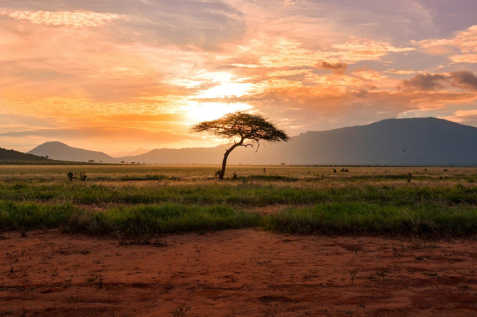
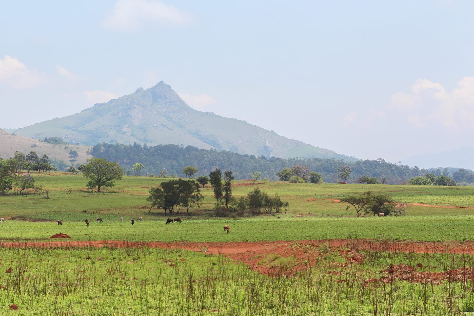
Zimbabwe sits on a high inland plateau between the Zambezi and the Limpopo, two of southern Africa's defining rivers. The Zambezi crashes into the basalt gorge of Victoria Falls at the country's western edge — 1,708 metres wide and 108 metres high in the wet season, the largest single sheet of falling water on Earth — and continues east through Lake Kariba, the world's largest reservoir by volume. North of the dam, Mana Pools National Park opens onto an extension of the Zambezi flood plain that has been UNESCO-listed since 1984. West, Hwange National Park stretches across 14,600 square kilometres of mopane and teak woodland and holds one of Africa's largest elephant populations. In the south, the Matobo Hills lift in domes of weathered granite over Kalahari sands; the savanna runs east to the highlands where Mount Nyangani reaches 2,592 metres at the Mozambique border.
The country takes its name from Great Zimbabwe — a medieval stone city built without mortar between the eleventh and fifteenth centuries, the political and religious centre of a kingdom that traded gold to the Indian Ocean coast. Its dry-stone walls still stand twelve metres high in places, UNESCO-listed since 1986, and the soapstone Zimbabwe birds carved at the site became the national emblem at independence. The colonial overlay is more recent: Cecil Rhodes' British South Africa Company occupied the territory in 1890 — Rhodes is buried in the Matobo Hills — Southern Rhodesia ran under white-minority rule into the long Rhodesian Bush War, and independence finally arrived in April 1980. Robert Mugabe held power for thirty-seven years through to 2017, presiding over the land-reform expropriations of 2000 and the hyperinflation that destroyed the original Zimbabwe dollar. The country today is quieter than that history reads, but the politics still cast long shadows over the economy.
Most tourism enters via Victoria Falls Airport on the western border — the airline hub for both sides of the falls — or via Harare. The Zambezi circuit is the most-visited corridor on the continent, sharing infrastructure with Zambia's Livingstone; the KAZA UniVisa (USD 50, 30 days, multi-entry) lets travellers cross between Zimbabwe and Zambia without re-applying, with same-day excursions allowed into Botswana and Namibia for the Caprivi loop. Otherwise the standard Zimbabwe eVisa is USD 30 for a 30-day single entry, processed in two to five business days. The dry season — May through October — is the strongest window for wildlife at Hwange and Mana Pools; the falls peak in volume between April and June, when the spray itself reduces visibility on the Zimbabwean platforms. Currency is unusual: the gold-backed Zimbabwe Gold (ZiG) launched in April 2024, but the US dollar remains legal tender by law until 2030 and is the practical currency for tourism payments. Bring crisp USD bills and small denominations.
Practical info.
Climate
Best time: May–October (dry season for wildlife at Hwange and Mana Pools); April–June for peak Victoria Falls volume.
Visa & entry
eVisa available online; KAZA UniVisa shared with Zambia covers both sides of Victoria Falls. Apply at evisa.gov.zw (2–5 business days) or visa-on-arrival at Harare, Victoria Falls, and major land borders. Single-entry tourist visa USD 30 (30 days); double-entry USD 55; KAZA UniVisa USD 50 (30 days multi-entry Zim/Zam, with same-day excursions into Botswana and Namibia). Passport valid 6+ months with 2 blank pages. USD remains legal tender alongside ZiG until 2030.
Money
Zimbabwe Gold (ZiG); USD also legal tender. Mobile money is widely accepted; carry some cash for rural travel.
Safety & health
Anti-malarial cover for low-elevation regions; standard travel insurance recommended.
How is Zimbabwe measured?
Tourism is the story; data is the context. Health, population, economy and climate indicators across Zimbabwe — sourced from the World Bank, WHO and UNICEF.
See Zimbabwe in numbers