Photo by Timothy A. Gonsalves, CC BY-SA 4.0, via Wikimedia Commons
ZambiaTourism
From Victoria Falls' Zambian rim to South Luangwa's walking-safari plains, Zambia is a country built around water — the Zambezi, the Luangwa, the Kafue, and Lake Tanganyika — and around copper, the metal that built the country at independence in 1964.
A country measured in horizons.
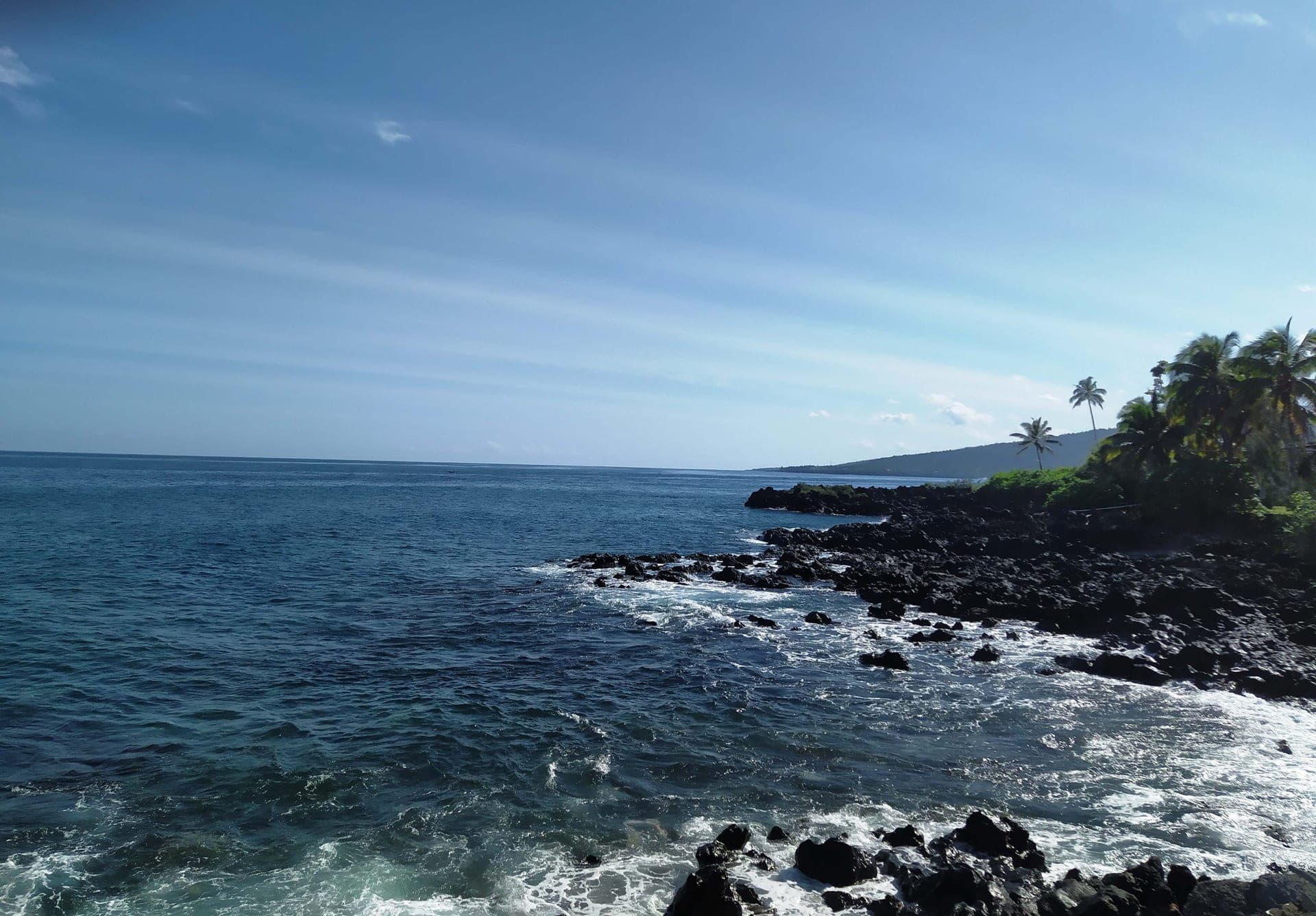
Zambia is a landlocked plateau country in southern Africa — about twice the size of Germany at 752,000 square kilometres, with one of the lowest population densities on the continent. Three great rivers shape its life: the Zambezi forms the southern border with Zimbabwe and drops over Victoria Falls at Livingstone, the Luangwa cuts a 700-kilometre valley down the eastern side, and the Kafue runs through the centre of the country before joining the Zambezi at Chirundu. The country counts seventeen significant waterfalls beyond Vic Falls and shares four of Africa's great inland bodies of water: Lake Tanganyika, Lake Bangweulu (where the shoebill stork still walks the floodplains), Lake Mweru, and the Kariba reservoir. Kafue National Park, 22,400 square kilometres of woodland and floodplain, is one of the largest national parks anywhere on the continent.
Zambia was British Northern Rhodesia until independence in 1964, when Kenneth Kaunda became the first president of a republic stitched together from more than seventy ethnic groups under the motto 'One Zambia, One Nation.' Bemba in the north and Nyanja around Lusaka emerged as the regional linguae francae; English remained the official language and the schools' default. Modern walking safaris were invented here by Norman Carr in South Luangwa in the 1950s and remain the country's signature tourism format — quieter, slower, and closer to the bush than vehicle-based game drives. The Copperbelt to the north — the world's largest cobalt-and-copper deposit outside the DRC — has driven the economy since the 1920s and remains the country's largest export earner. Political transitions have been peaceful: the 2021 election handed power from Edgar Lungu to Hakainde Hichilema with no significant unrest.
Most tourism enters via Kenneth Kaunda International (LUN) outside Lusaka or Harry Mwanga Nkumbula International (LVI) at Livingstone for the Victoria Falls circuit. The KAZA UniVisa (USD 50, 30 days, multi-entry) covers both Zambia and Zimbabwe with same-day excursions into Botswana through Kazungula — the most common entry mode for Vic Falls travellers. A standalone Zambia tourist visa costs USD 50 for 30-day single entry or USD 80 for 90-day multi-entry. As of 1 January 2025 the country added more than fifty nationalities to its visa-free list (including Germany, Austria, and Switzerland); the e-visa portal at eservices.zambiaimmigration.gov.zm covers the rest. The dry season runs May through October — best for both Vic Falls visibility and walking safaris at South Luangwa, when game concentrates along the river. Currency is the Zambian kwacha (ZMW); mobile money and USD are widely accepted in tourism settings.
Practical info.
Climate
Best time: May–October (dry season; walking safaris at South Luangwa, Vic Falls visibility peaks Sep–Oct).
Visa & entry
KAZA UniVisa (with Zimbabwe) for Vic Falls travellers; eVisa available; 50+ nationalities visa-free since 1 January 2025. Apply at eservices.zambiaimmigration.gov.zm. Tourist visa USD 50 (30-day single) or USD 80 (90-day multi-entry); KAZA UniVisa USD 50 for 30-day multi-entry Zambia/Zimbabwe (with Botswana same-day excursions). 50+ nationalities visa-free since 1 January 2025 (Germany, Austria, Switzerland and others). Passport valid 6+ months with 2 blank pages.
Money
Zambian kwacha (ZMW). Mobile money is widely accepted; carry some cash for rural travel.
Safety & health
Anti-malarial cover for low-elevation regions; standard travel insurance recommended.
How is Zambia measured?
Tourism is the story; data is the context. Health, population, economy and climate indicators across Zambia — sourced from the World Bank, WHO and UNICEF.
See Zambia in numbers