Photo by James Wasswa, CC BY-SA 4.0, via Wikimedia Commons
UgandaTourism
From Bwindi's mountain gorillas to the Nile's source at Jinja, Uganda is the country Churchill called 'the Pearl of Africa' — equator-crossing, glacier-topped Rwenzori peaks, half the world's mountain gorillas, and the Big Five within a week's drive.
A country measured in horizons.
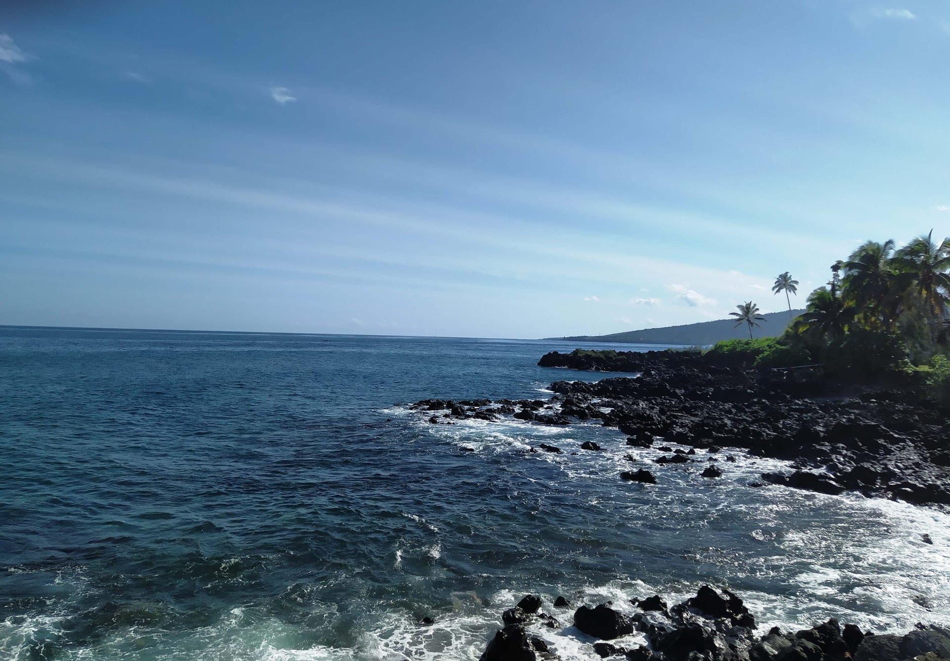
Uganda's geography is built around water. The White Nile begins here, in the channel at Jinja where Lake Victoria — Africa's largest lake — drains north, and the river runs the length of the country before plunging through Murchison Falls, where the entire flow is forced through a seven-metre gap of rock and falls forty-three metres into Lake Albert. To the west, the Rwenzori Mountains lift Margherita Peak to 5,109 metres and carry the last equatorial glaciers in Africa — fast-retreating, but still ice; Ptolemy mapped them in the second century as the Mountains of the Moon. To the south, Bwindi Impenetrable Forest folds into ridges of montane cloud forest along the DRC border. The land between is varied: tea estates climb the Kabarole highlands, papyrus swamps line the lakeshore, and the Murchison and Queen Elizabeth savannas open to the kind of horizon East Africa is known for.
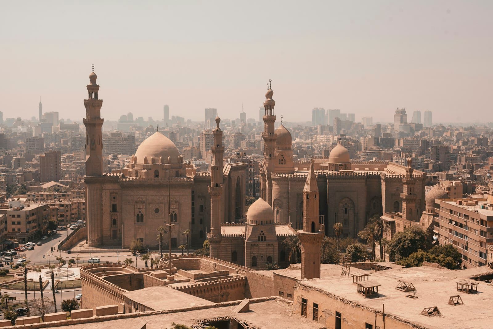
Bwindi holds roughly 459 mountain gorillas — nearly half the world's remaining population — and a permit to spend an hour with a habituated family is the trip most travellers come for. Beyond the apes, Kibale Forest tracks habituated chimpanzee groups, Queen Elizabeth's Ishasha sector is the only place in East Africa to reliably find tree-climbing lions, and Murchison's river boats run past some of the highest Nile crocodile densities on the continent. The country carries deep history alongside the wildlife. The Buganda Kingdom, centred on Kampala, is one of Africa's most enduring monarchies, and the royal Kasubi Tombs — UNESCO-listed since 2001 — hold the burial places of four kabakas. Winston Churchill, after a 1907 visit, called Uganda 'the Pearl of Africa' in his book My African Journey the following year, and the description still anchors the country's tourism brand more than a century later.
Entebbe International is the gateway most travellers see, perched on the north shore of Lake Victoria with Kampala forty kilometres up the highway. From there, light-aircraft charters drop into bush airstrips at Kihihi (for Bwindi), Pakuba (for Murchison), and Mweya (for Queen Elizabeth) in under an hour; overland circuits by 4×4 typically take ten to fourteen days and cover most of the country. The dry seasons — June through September and December through February — are best for gorilla trekking, when the forest trails firm up and game viewing is easier across the savanna parks. Uganda is on the East African Tourist Visa with Kenya and Rwanda (USD 100, 90 days, multi-entry); a single-entry Uganda eVisa runs USD 50. The gorilla permit costs USD 800 per person for foreign non-residents — the standard Uganda Wildlife Authority rate, with a USD 200 discount in the April, May, and November low-season months.
Practical info.
Climate
Best time: June–September and December–February (dry seasons, best for gorilla trekking and game viewing).
Visa & entry
eVisa required for most nationalities; East African Tourist Visa covers UG + KE + RW. Apply at visas.immigration.go.ug: single-entry eVisa USD 50, 90 days; East African Tourist Visa USD 100 for multi-entry across UG/KE/RW. Yellow fever certificate required.
Money
Ugandan shilling (UGX). Mobile money is widely accepted; carry some cash for rural travel.
Safety & health
Anti-malarial cover for low-elevation regions; standard travel insurance recommended.
How is Uganda measured?
Tourism is the story; data is the context. Health, population, economy and climate indicators across Uganda — sourced from the World Bank, WHO and UNICEF.
See Uganda in numbers