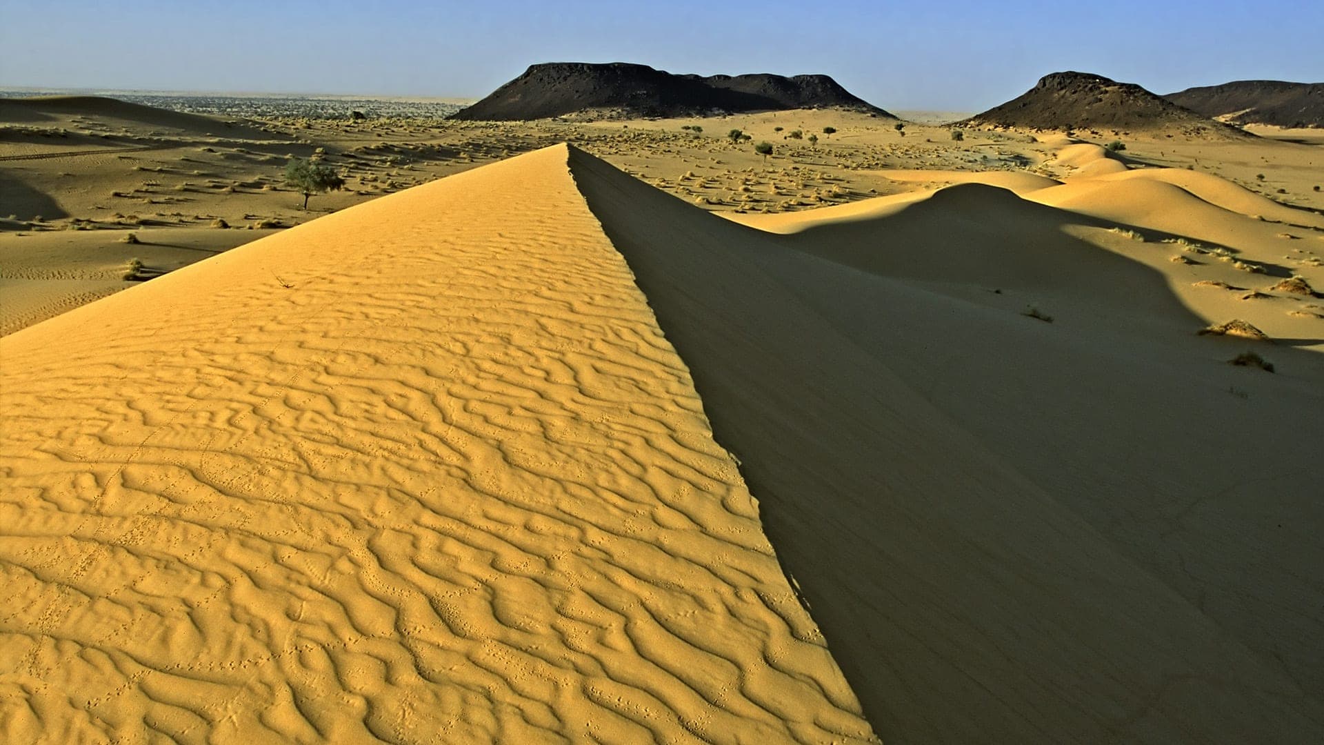
Photo by Aminucrus, CC BY-SA 4.0, via Wikimedia Commons
NigerTourism
Niger runs from the Niger River's green banks at Niamey to the towering mud-brick minaret of the Agadez Grand Mosque and the Ténéré's Saharan dunes — the world's tallest earthen mosque, Neolithic giraffe petroglyphs at Dabous, and a Sahelian wildlife reserve larger than Portugal.
A country measured in horizons.
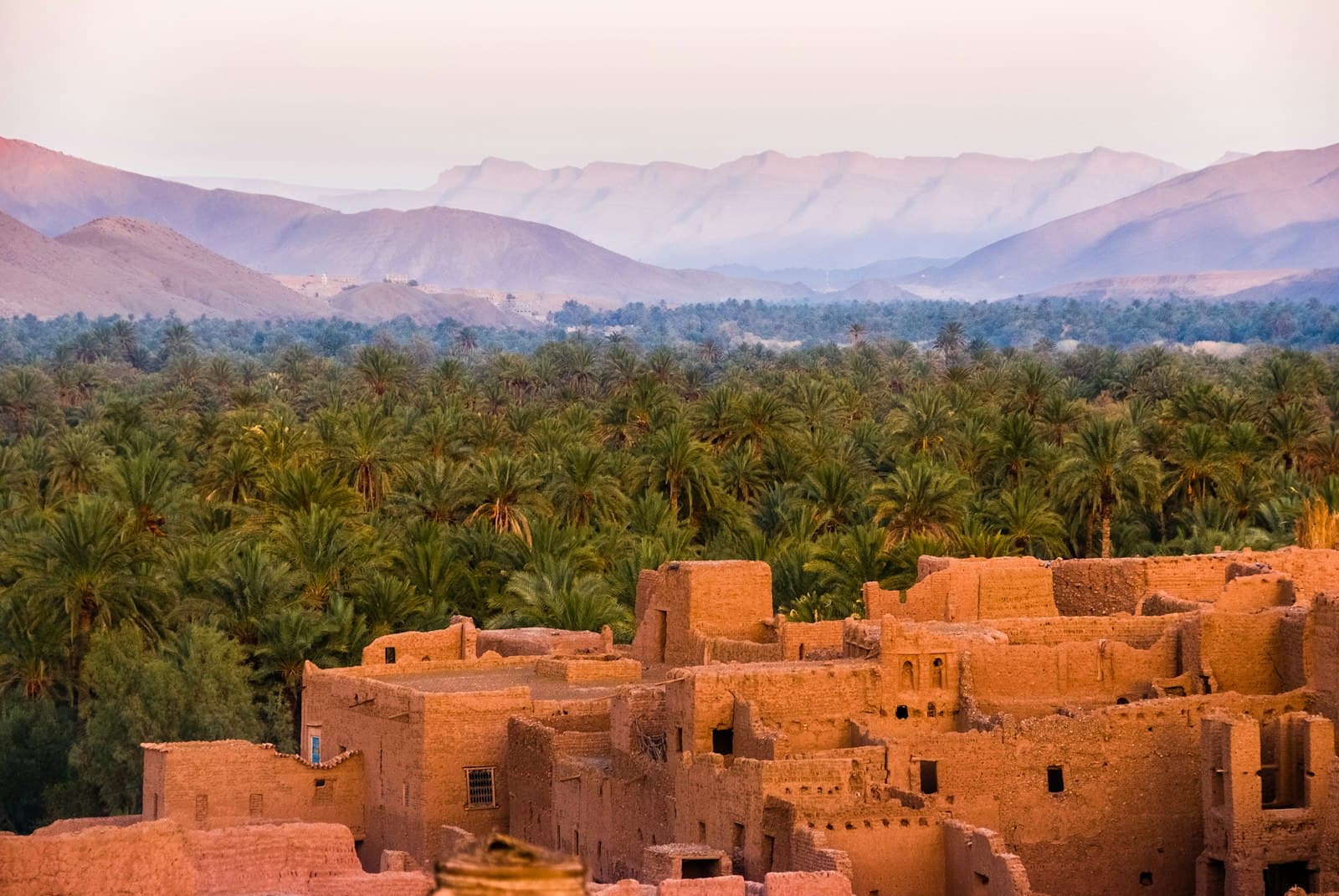
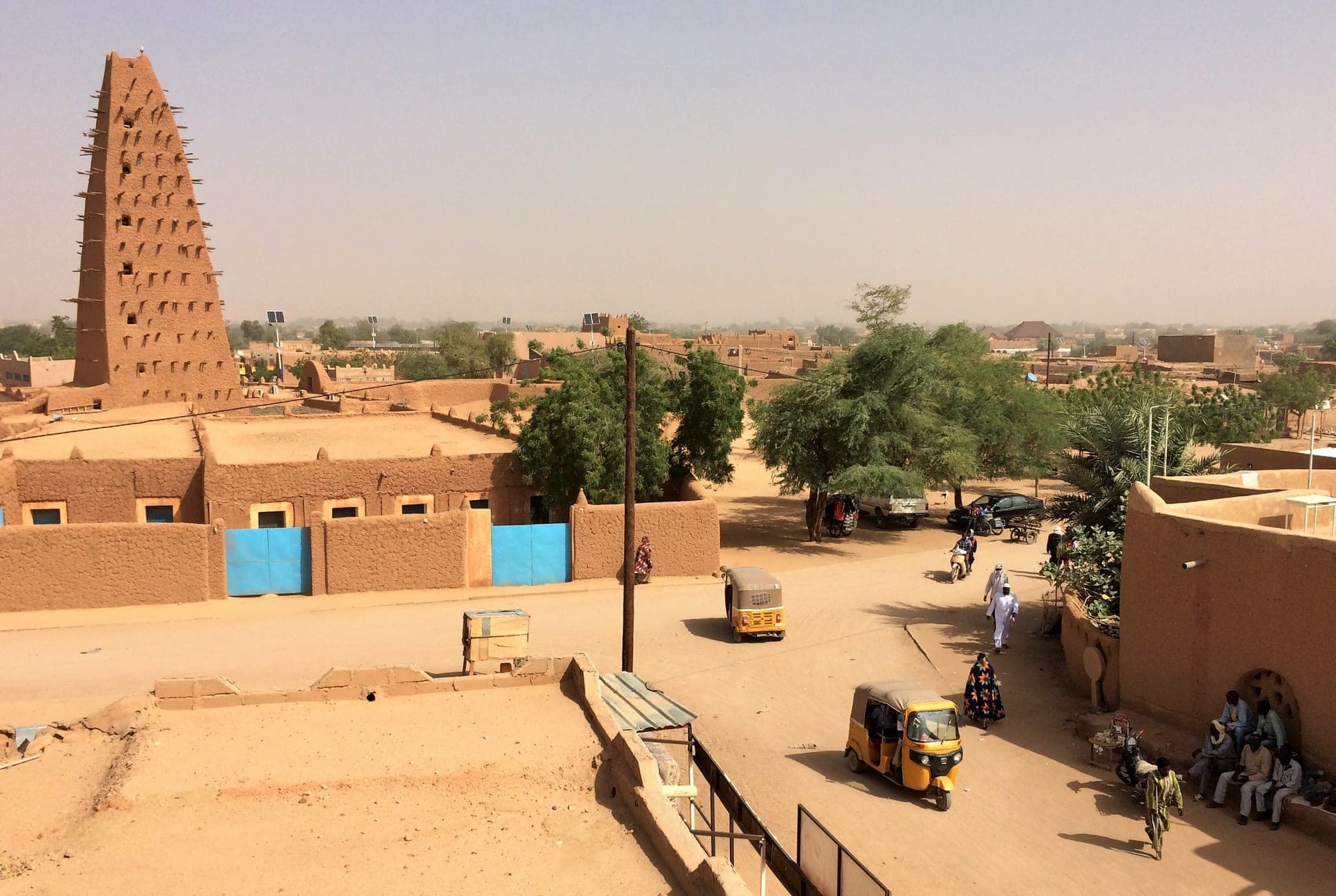
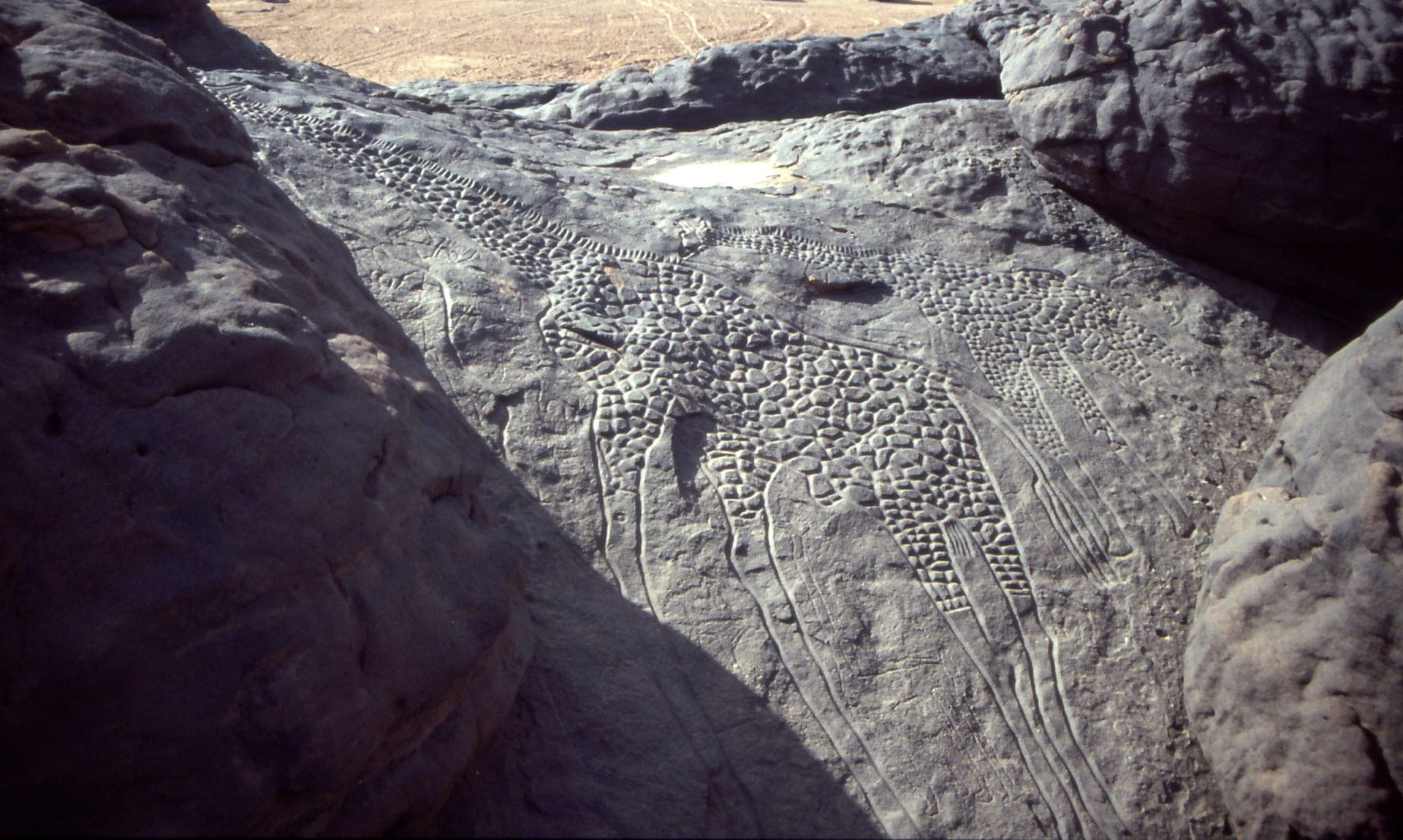
Niger straddles the line between the Sahel and the Sahara, its inhabited south hugging the Niger River while its north dissolves into some of the emptiest desert on Earth. Agadez, the historic gateway to the Sahara caravan routes, holds the UNESCO-listed Grand Mosque — at roughly 27 metres the tallest mud-brick structure in the world, first built in 1515 and rebuilt in its current form in 1844, its wooden scaffolding spikes bristling from every face. North of the city, the Dabous petroglyphs carve two life-sized giraffes into sandstone, among the finest rock art anywhere in the Sahara, dated to the Neolithic Kiffian or Tenerian periods several thousand years before Agadez existed. Southeast, the Termit Massif and Tin Toumma desert together form a single 97,000-square-kilometre reserve — the largest protected area in Africa — sheltering most of the world's remaining wild addax antelope alongside dama gazelle and Saharan cheetah.
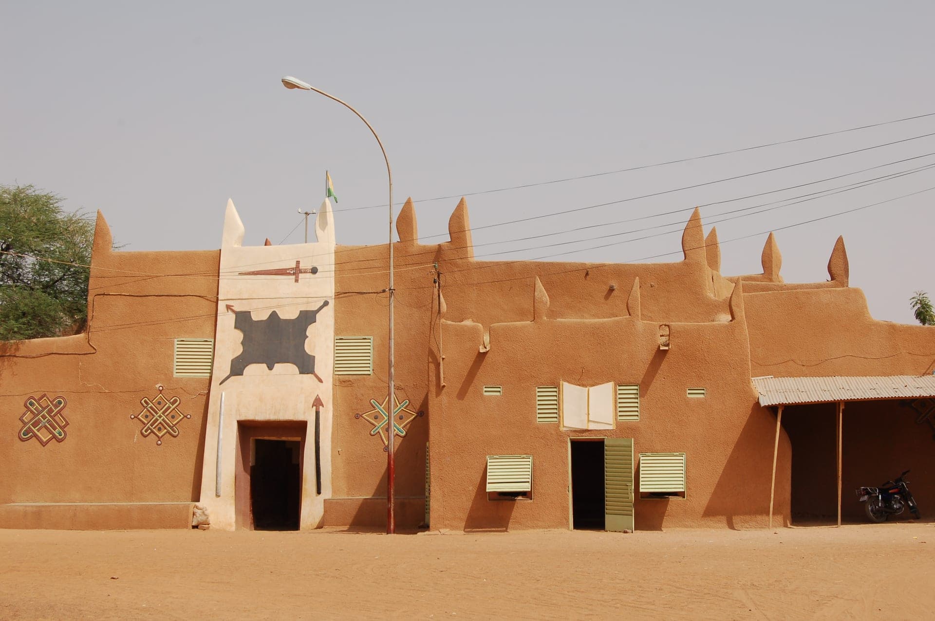
The Zarma-Songhay kingdoms held the river valley for centuries before Hausa city-states and the Sultanate of Zinder rose in the south and the Sultanate of Agadez anchored Tuareg caravan trade in the north; France folded all of it into French West Africa in 1922, and Niger became independent in 1960. Zinder's 1850s Sultan's Palace still stands in Birni, the old walled quarter, home to the current sultan and decorated with the geometric Hausa motifs that mark much of the city's traditional architecture. Niger's post-independence politics have cycled through several coups; the most recent, on 26 July 2023, deposed elected president Mohamed Bazoum and installed a military junta under General Abdourahamane Tchiani, which adopted a transitional charter in March 2025 and governs with backing from fellow junta-led Mali and Burkina Faso under the new Alliance of Sahel States.
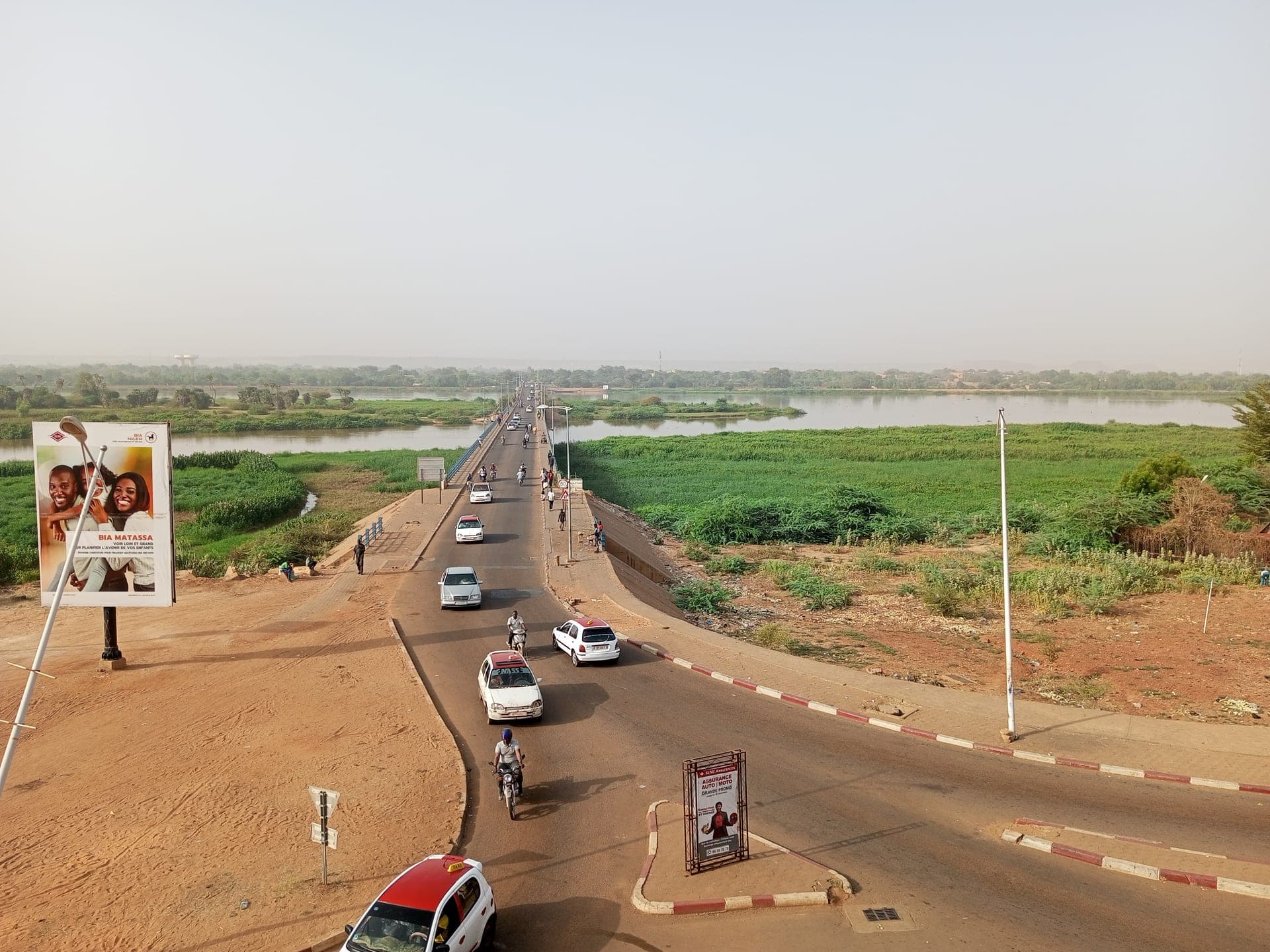
Niamey's Kennedy Bridge across the Niger River is the everyday image of the capital, its traffic and riverside market gardens a world away from the desert north. Most international flights land at Diori Hamani International Airport (NIM). Niger runs a tiered visa system: ECOWAS nationals and a short list of other countries (including Cabo Verde, Chad, Gambia, and Guinea) travel visa-free; eligible tourists can apply for an eVisa online with a yellow fever certificate, hotel booking, and passport scan; everyone else needs an embassy visa. None of this changes the core safety picture: the US State Department raised Niger to Level 4 (Do Not Travel) on 30 January 2026 and ordered non-essential embassy staff to leave, citing terrorism and kidnapping risk that spans the country and links up with existing Level 4 advisories for neighbouring Mali and Burkina Faso. The cool, dry months of November through February are the only realistic window for travel that does happen, mostly business and diplomatic rather than tourist.
Practical info.
Climate
Best time: November–February (cooler, dry Sahel season); April–June is extreme pre-monsoon heat.
Visa & entry
Visa-free for ECOWAS and a few other nationalities; eVisa for eligible tourists; embassy visa otherwise. ECOWAS citizens and nationals of a short list of other countries (Cabo Verde, Chad, Gambia, Guinea among them) enter visa-free for short stays. Eligible tourists can apply for an eVisa online (passport scan, yellow fever certificate, hotel booking or invitation, ~5 working-day processing); all other nationalities need an embassy visa in advance. US State Department raised Niger to Level 4 (Do Not Travel) on 30 January 2026 — non-essential US government personnel were ordered out — citing terrorism and kidnapping risk across the country, contiguous with existing Level 4 advisories for Mali and Burkina Faso.
Money
West African CFA franc (XOF). Mobile money is widely accepted; carry some cash for rural travel.
Safety & health
Anti-malarial cover for low-elevation regions; standard travel insurance recommended.
How is Niger measured?
Tourism is the story; data is the context. Health, population, economy and climate indicators across Niger — sourced from the World Bank, WHO and UNICEF.
See Niger in numbers