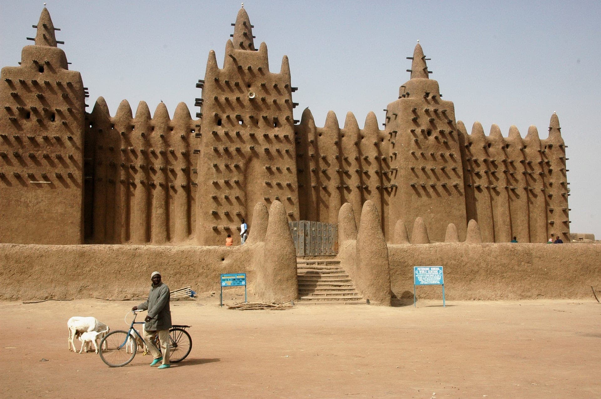
 Photo by Ruud Zwart (Sherpa!), CC BY-SA 3.0, via Wikimedia Commons
MaliTourism
Mali's landlocked vastness shelters four UNESCO World Heritage Sites — the Great Mosque of Djenné, the sacred libraries of Timbuktu, the Dogon cliff villages above the Bandiagara Escarpment, and the Tomb of Askia in Gao — all threaded together by the Niger River as it traces a great inland arc through the Sahel.
A country measured in horizons.
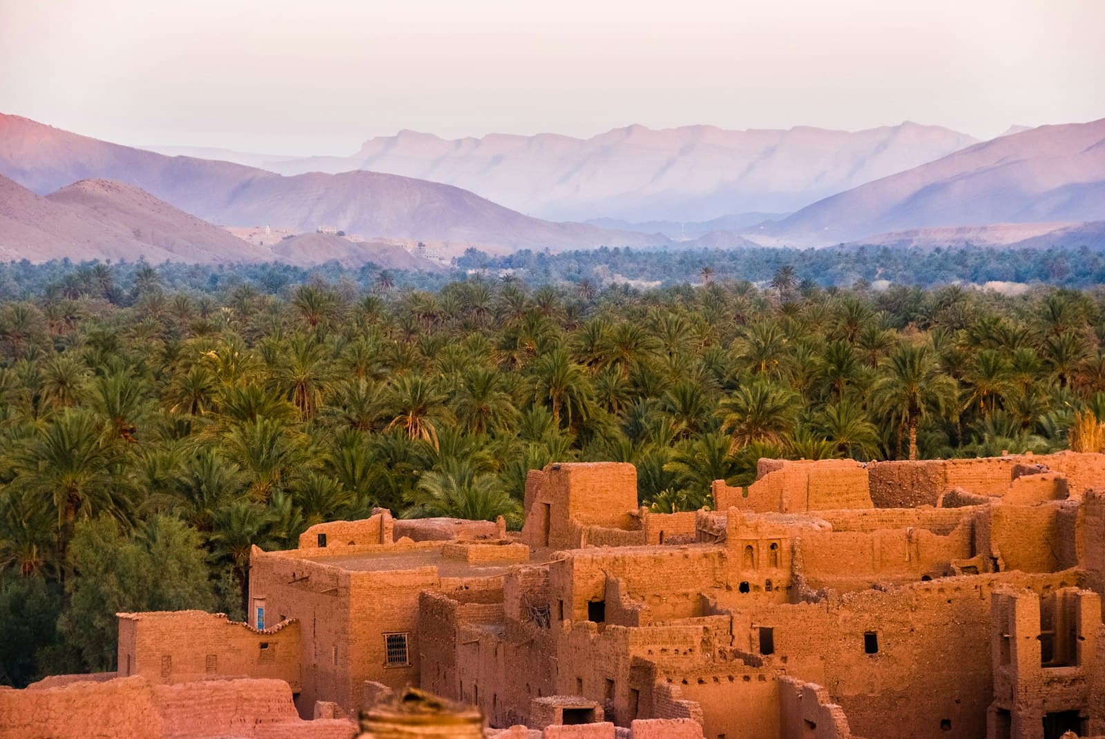
Mali is the eighth-largest country in Africa, a landlocked expanse of 1.24 million km² spanning the Sahara Desert in the north, the Sahel savanna in the centre, and Sudanian woodland in the south. The country's lifeblood is the Niger River, which enters from Guinea, widens into the vast Inner Niger Delta near Mopti — one of the most biodiverse inland wetlands on the continent — before bending north toward Timbuktu and turning east into Niger. This arc through the Sahel cradles the ancient trading cities that made Mali the centre of trans-Saharan commerce for six centuries. The Bandiagara Escarpment, a 150-kilometre sandstone cliff, forms the eastern horizon of Dogon Country and has sheltered human communities continuously for at least a thousand years.
Mali was the political core of three successive West African empires. The Ghana Empire (c. 700–1235) controlled the gold-salt trade; the Mali Empire (c. 1235–1600) produced Mansa Musa, whose 1324 hajj to Mecca — accompanied by a cortège of sixty thousand people and so much gold that he depressed Egyptian gold prices for a decade — remains one of history's most celebrated displays of wealth. The Songhai Empire displaced it and built Timbuktu into a city of 100,000 with the Sankore madrasa rivalling Cairo as a centre of Islamic scholarship. French Sudan from 1890, independent as Mali in 1960, the country has since cycled through coups and democratic periods: a military junta (CNSP) took power in August 2020, Assimi Goïta became transitional president in May 2021, French forces (Opération Barkhane) were expelled in 2022, and the UN peacekeeping mission MINUSMA withdrew by end of 2023 after the junta demanded it leave. Russian Africa Corps contractors now operate alongside Malian armed forces in the Sahel.
International flights arrive at Bamako Sénou International Airport (BKO). Visas are required for most nationalities and must be obtained from a Malian embassy before travel; yellow fever vaccination certificate is required. The travel security picture is severe: the US State Department posts Level 3 (Reconsider Travel) for Bamako and Level 4 (Do Not Travel) for all other regions — Kidal, Gao, Ménaka, Mopti, and Taoudénit — due to active jihadist insurgency by JNIM (Jama'a Nusrat ul-Islam wa al-Muslimin) and ISGS across the north and centre of the country. This means most of Mali's UNESCO heritage sites — Timbuktu, the Bandiagara Escarpment, Djenné — lie in Level-4 zones. The November–February dry season is the most comfortable period in terms of climate; Bamako's cultural life (music, galleries, the Bamako photography biennale) continues year-round and the capital remains the practical base for any travel in the country.
Practical info.
Climate
Best time: November–February (cool dry season, harmattan manageable); April–May is dangerously hot; June–September rainy.
Visa & entry
Visa required for most nationalities; obtain from nearest Malian embassy before travel. Most foreign nationals require a visa obtained in advance from a Malian embassy or consulate; no confirmed e-visa system as of 2026 given the post-coup political situation. Yellow fever vaccination certificate is mandatory. ECOWAS nationals have freedom-of-movement rights in principle. The US State Dept posts Level 3 for Bamako (Reconsider Travel) and Level 4 (Do Not Travel) for all other regions due to active jihadist insurgency (JNIM, ISGS). Check your government's latest advice before booking.
Money
West African CFA franc (XOF). Mobile money is widely accepted; carry some cash for rural travel.
Safety & health
Anti-malarial cover for low-elevation regions; standard travel insurance recommended.
How is Mali measured?
Tourism is the story; data is the context. Health, population, economy and climate indicators across Mali — sourced from the World Bank, WHO and UNICEF.
See Mali in numbers