Where to stay
Camps and lodges range from luxury tented suites with plunge pools to simple bandas. Book the rim camps for sunrise game drives.
A full story for Nayawani North will appear here once curated.
Camps and lodges range from luxury tented suites with plunge pools to simple bandas. Book the rim camps for sunrise game drives.
Professional rangers run private and group safaris by 4×4 or hot-air balloon. Multi-day circuits connect to other parks.
Choose conservancies and operators with verified anti-poaching, community-revenue and water-stewardship programs.
Population, life expectancy, conservation spend, climate trends — see the data behind Malawi and the region around Nayawani North.
See Malawi in numbers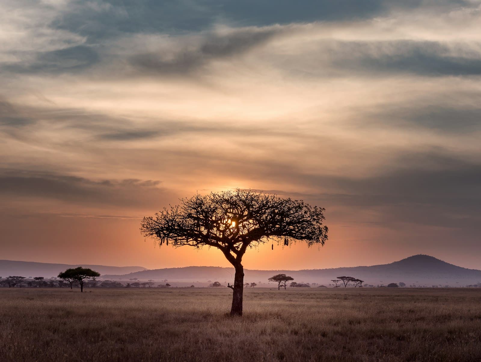 Kenya
KenyaAfrica's second-highest peak — 5,199 m of glacier ice on the equator. Trekking circuits ring three summits and pass alpine tarns above the moorland.
 DR Congo
One of the world's largest lava lakes, glowing inside an active volcano above Goma — a two-day trek.
 DR Congo
Volcanic peak naming a UNESCO park sheltering eastern lowland gorillas, found nowhere else on Earth.