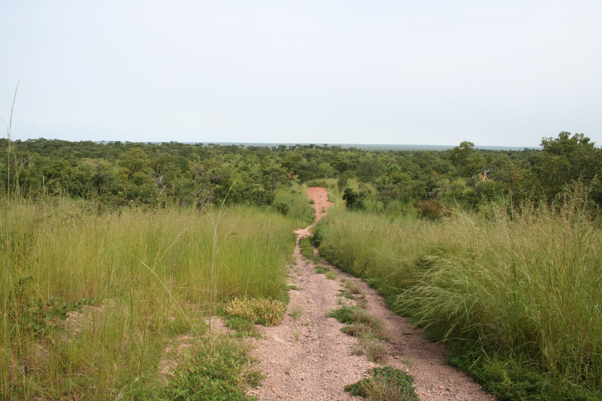
Photo by Adam Jones, CC BY-SA 3.0, via Wikimedia Commons
BeninTourism
Birthplace of Vodun and the former Kingdom of Dahomey, Benin runs from the stilt villages and slave-trade memorials of its Atlantic coast up through the earthen Tata Somba homesteads of the Atakora to the elephant herds of Pendjari — a compact stretch of West Africa with an outsized cultural footprint.
A country measured in horizons.
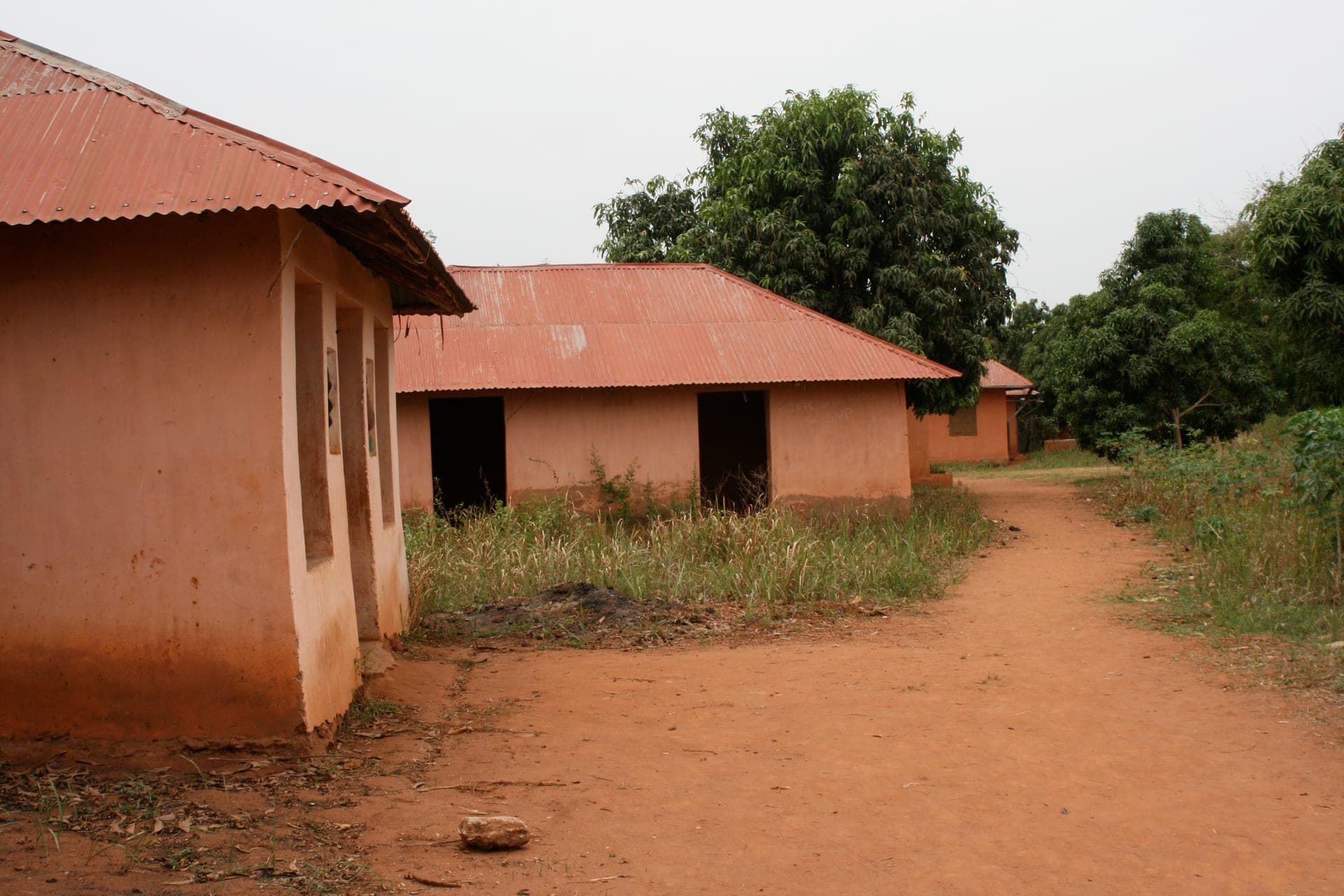
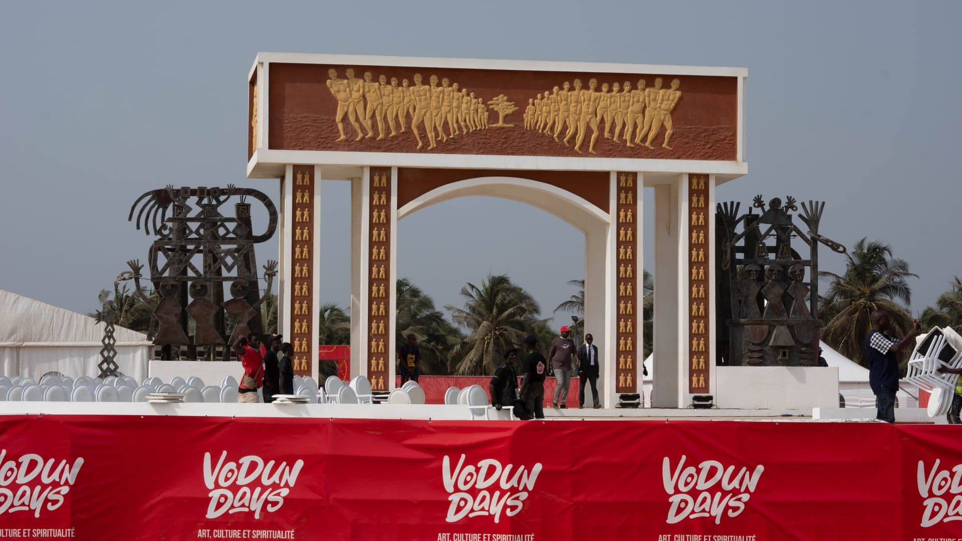
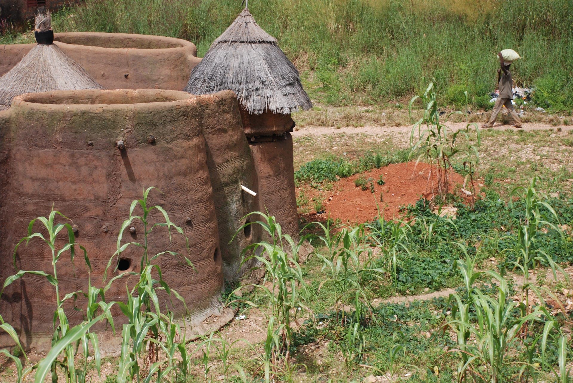
Benin sits on the Bight of Benin between Togo and Nigeria, a narrow country that runs from a 121-kilometre Atlantic coastline north into the Sahel. The south holds Cotonou (the de facto capital and by far the largest city), the lagoon town of Ganvié with its stilt houses built by the Tofinu people to evade Fon slave raiders, and the historic town of Ouidah, one of the principal embarkation ports of the transatlantic slave trade. Inland, Abomey was the seat of the Kingdom of Dahomey from the 17th century until French conquest in 1894; its 10 royal palaces, raised generation after generation on the same 47-hectare site, are UNESCO World Heritage listed. The far north is a different country again — the Atakora range, the Tata Somba fortified clay homesteads of the Betammaribe people near Natitingou, and Pendjari National Park, part of the transboundary W-Arly-Pendjari complex and one of the last strongholds of West African lion, elephant, and buffalo.
Benin is widely regarded as the spiritual home of Vodun (Voodoo), which remains an officially recognised religion practised by roughly one in ten Beninese alongside Christianity and Islam; Ouidah holds an annual Vodun festival every January and its Sacred Forest and Python Temple draw pilgrims and visitors alike. The Kingdom of Dahomey ran one of the most militarised states in pre-colonial West Africa, famous for the Agojie, an all-female military regiment that European accounts dubbed the 'Dahomey Amazons.' France colonised the coast from 1894 and Dahomey gained independence in 1960, taking the name Benin in 1975 under a Marxist-Leninist government that lasted until 1990's peaceful transition to multiparty democracy — one of the earliest and most durable in the region. That democratic record has come under strain since 2019, with contested elections and a shrinking space for the opposition under President Patrice Talon.
Most travellers arrive at Cadjehoun Airport in Cotonou. Benin's eVisa (evisa.gouv.bj or on arrival for many nationalities) covers most visitors, and West African ECOWAS nationals travel visa-free. The dry season from November to February is the easiest window, avoiding the main rains of the humid south; a short dry spell (the 'petite saison sèche') also falls in August. Security has deteriorated in the far north since 2021–2022, as JNIM and allied jihadist groups operating out of Burkina Faso and Niger have used the forests of the W-Arly-Pendjari park complex as a staging ground; the US State Department currently rates Benin Level 2 (Exercise Increased Caution) nationally, with sharper warnings for the Alibori, Atakora, and Kandi border zones near Burkina Faso and Niger. The accessible circuit for now is the south and centre — Cotonou, Ouidah, Ganvié, and Abomey — plus the Atakora towns closer to Natitingou, with the northern parks requiring current local guidance before a visit.
Practical info.
Climate
Best time: November–February (dry season, most comfortable for the south and Atakora); short dry spell in August.
Visa & entry
eVisa via evisa.gouv.bj for most nationalities; ECOWAS citizens visa-free. Benin's eVisa system covers single-entry (30 days), multiple-entry (30 days), and multiple-entry (90 days) options, from roughly EUR 50–100; apply online in advance, as visa-on-arrival at Cotonou is not guaranteed for all nationalities. ECOWAS citizens enter visa-free. Passport valid 6+ months and a yellow fever certificate are required. US State Department rates Benin Level 2 (Exercise Increased Caution) nationally as of January 2026, with elevated risk in the Alibori, Atakora, and Kandi departments near the Burkina Faso and Niger borders due to JNIM activity around the W-Arly-Pendjari park complex.
Money
West African CFA franc (XOF). Mobile money is widely accepted; carry some cash for rural travel.
Safety & health
Anti-malarial cover for low-elevation regions; standard travel insurance recommended.
How is Benin measured?
Tourism is the story; data is the context. Health, population, economy and climate indicators across Benin — sourced from the World Bank, WHO and UNICEF.
See Benin in numbers